ISHWAM Drone Survey

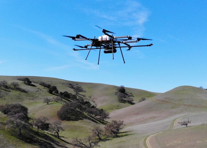
A drone survey is a method of capturing high-resolution aerial data using unmanned aerial vehicles (UAVs).

It involves flying a drone equipped with cameras or sensors over a specified area to collect images or video footage, which can be processed into maps, 3D models, or other analytical outputs.

Drone surveys are commonly used in industries such as construction, agriculture, mining, and environmental monitoring, offering a cost-effective and efficient way to gather accurate spatial data from hard-to-reach areas.

  • A drone survey involves using a drone to capture aerial images or videos of a specific area.

  • These images are later processed to create maps, 3D models, or analyze the terrain for different purposes. Below is a basic guide for conducting a drone survey

  • Pre-Survey Planning

    Clearly define the purpose of the survey, such as mapping land features, monitoring construction progress, assessing agricultural health, or any other specific need. This helps in selecting the right tools and approach.


    Choose a drone that matches your survey needs. For example, RGB cameras are ideal for general imagery, thermal cameras for heat detection, and multispectral cameras for crop or vegetation analysis. Ensure the drone has enough battery life to cover the survey area in one flight or more.

    Site Preparation

    Scout the Location: Before flying the drone, physically inspect the site to identify potential hazards like trees, buildings, power lines, or uneven terrain. This helps avoid accidents and ensures a smooth flight.


    Ground Control Points (GCPs): For high-precision mapping, place GCPs (visible markers) at key locations within the survey area. These are used during data processing to accurately align the map or 3D model with real-world coordinates.

    Flight Planning

    Choose the Right Software: Use ISHWAM Drone mapping software DroneDeploy to plan and automate your flight path. These tools help in setting up efficient routes and ensuring data accuracy.

    Altitude: The altitude affects coverage and resolution. Higher altitudes (e.g., 100-150 meters) cover larger areas but with lower detail. Lower altitudes provide more detail but require more flights for larger areas.

    Reporting and Output Delivery

    After processing the drone data, generate outputs based on the survey's purpose. This could include 2D maps for land surveys, 3D models for construction or terrain analysis, or annotated images for inspections or monitoring. Use software to analyze and present data in a meaningful way.

    Present the findings to stakeholders or clients in the desired format, such as PDFs, orthophoto maps, 3D models, or reports. Ensure the output is clear, easy to interpret, and meets the client's requirements for decision-making or further analysis.